black and white bed linen

Geospatial Solutions

Expert blogs, tutorials, and consultancy for sustainable water resource management and land use planning.

Geospatial Solutions

Explore our blogs, tutorials, and consultancy services in geospatial technologies for sustainable planning.

An aerial view of a landscape featuring a combination of agricultural fields, forested areas, winding roads, and a large body of water, possibly a lake or reservoir. The view captures a mosaic of different shades of green and brown, indicating varied land use and topography.
Consultancy Services

Tailored solutions for water resource management and land use metrics to optimize your projects.

Blog Resources

Access the latest blogs and code examples to enhance your understanding of geospatial technologies.
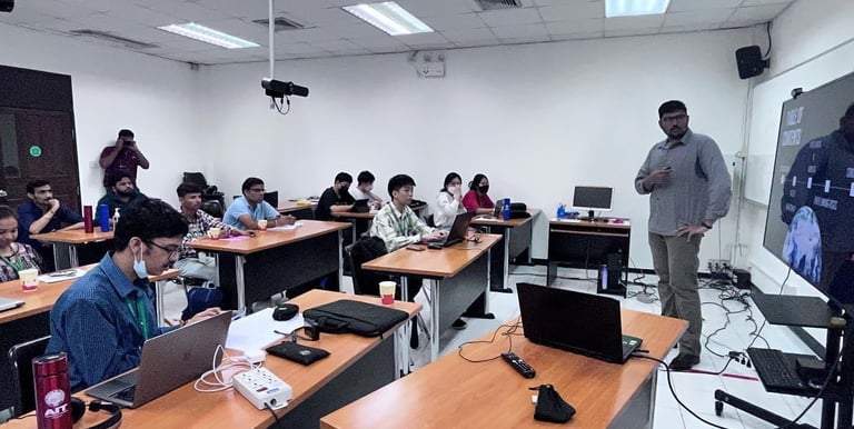
An aerial view of a serene landscape featuring a river surrounded by patches of trees. Buildings and infrastructure are evident in the background, along with a bridge crossing the water. The land is a mix of grass and pathways, with sparse tree coverage and a generally open area.

Gallery

Explore our projects showcasing geospatial technologies and consultancy services.

An aerial view of a landscape featuring a body of greenish water bordered by dense green vegetation and marshy land. The vegetation transitions into a variety of textures and shades, with visible pathways and patches of denser forest. The terrain shows a complex mixture of wetlands and greenery.
An aerial view of a coastal area with a prominent dam or bridge crossing a body of water. The landscape includes lush greenery, small boats scattered in the water, sandy beaches, and cultivated fields. The shoreline curves with dense vegetation and residential areas visible near the coast.
An aerial view of a landscape featuring a dense forest surrounding several bodies of water. The image includes a circular pond with marshland around it and two larger, irregularly shaped ponds or lakes. A small residential area with several buildings featuring red roofs is visible near the top of the image. There are clearly defined pathways and roads interconnecting the various parts of the landscape.