Geospatial way of assessing the large scale Irrigation Project - The "Ken-Betwa" river linking project
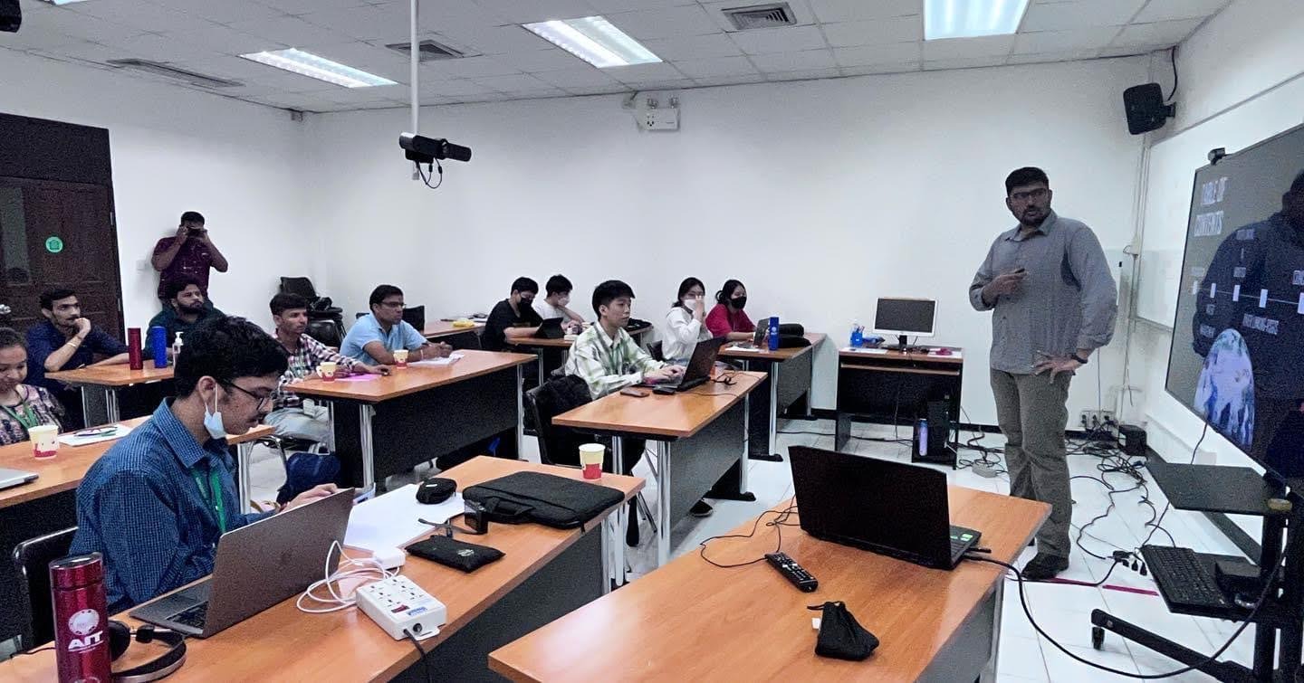
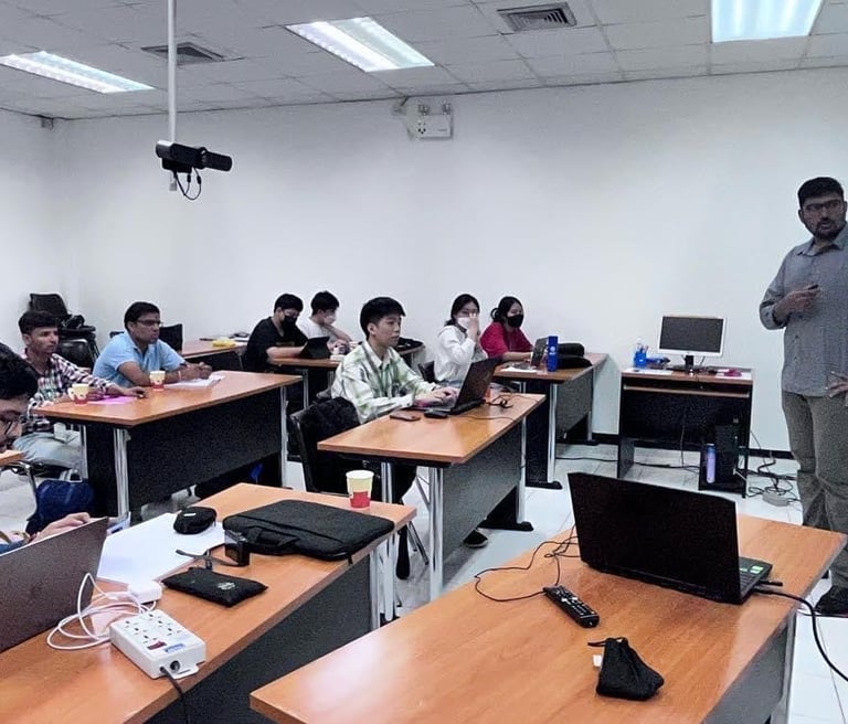
A Journey into the Heart of Drought: Using Remote Sensing and GIS for Large-Scale Projects in India Last week, I had the privilege of presenting to an enthusiastic group of students from various colleges in India who visited the Asian Institute of Technology in Thailand. Our topic? The fascinating application of remote sensing and Geographic Information Systems (GIS) in monitoring, evaluating, and validating large-scale projects—specifically, the prestigious Ken-Betwa River Linking Project in India.
Adithya Valivety
1/10/20251 min read
A Vision to Combat Drought
India's Bundelkhand region, a land persistently scarred by drought, is the epicenter of this ambitious project. The Ken-Betwa River Linking Project aims to transform the fate of this parched land by connecting the Ken and Betwa rivers, thus channeling water to drought-hit regions and revitalizing the local ecosystem and agriculture.
Why Remote Sensing and GIS?
Remote sensing and GIS technologies have revolutionized the way we approach and manage large-scale projects. These advanced tools allow us to gather and analyze data from satellite imagery, providing critical insights that are not only comprehensive but also real-time. For the Ken-Betwa project, these technologies are indispensable for monitoring environmental changes, assessing the project's progress, and validating its impact.
The Monitoring Approach
In my presentation, I introduced the students to the Monitoring evaluation and validation approach—a methodology that integrates remote sensing and GIS to assess large-scale projects meticulously. This approach ensures that every aspect of the project, from water flow to environmental sustainability, is monitored and evaluated against predefined criteria.
Student Reactions and Takeaways
The students were particularly fascinated by how these technologies provide a bird’s-eye view of the project area, making it easier to identify potential challenges and devise solutions promptly. They also appreciated the real-world applications of their academic knowledge, seeing firsthand how classroom concepts translate into impactful actions.
The Future of Water Management
As I wrapped up the presentation, I encouraged the students to consider careers in remote sensing and GIS. The future of water management and environmental sustainability hinges on innovative thinkers who can harness these powerful tools to address global challenges. The Ken-Betwa River Linking Project is just one example of how technology and human ingenuity can collaborate to bring about transformative change.